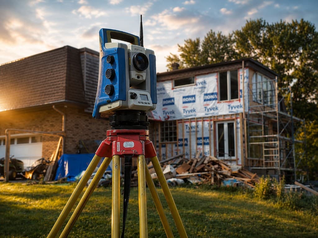
About
Construction-focused geomatics. Built for the field.
Our approach
Measuring what matters. Delivering what's next.
SiteSource Geomatics exists to give contractors, project managers, and engineers a reliable source of spatial truth — from first control to final as-built.
We specialize in construction survey layout and high-accuracy 3D reality capture. That means stakes that match the model, scans that capture the real world, and deliverables your crews can act on the same day they need them.
With 20+ years of industry experience and senior-level project support, we mobilize quickly and work the way construction works: clear communication, practical precision, and respect for the schedule.
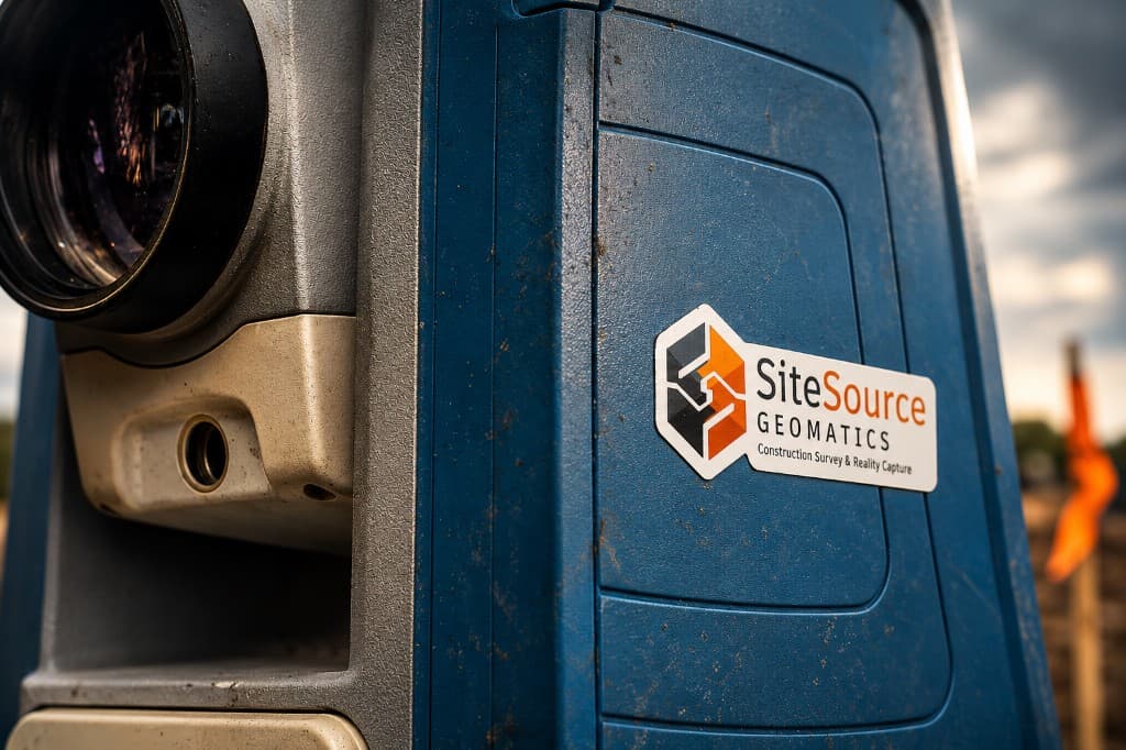
How we work
- Mobilize fast to your Ontario site
- Establish control or capture the existing condition
- Layout, verify, or process with construction intent
- Hand off build-ready deliverables
What we stand for

Build with confidence
Every measurement protects the next trade. We treat your schedule like our reputation.
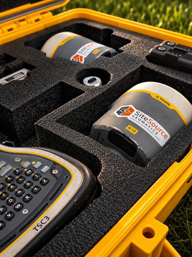
Proven technology
Modern total stations, GNSS, and 3D laser scanning — deployed where they earn their keep.
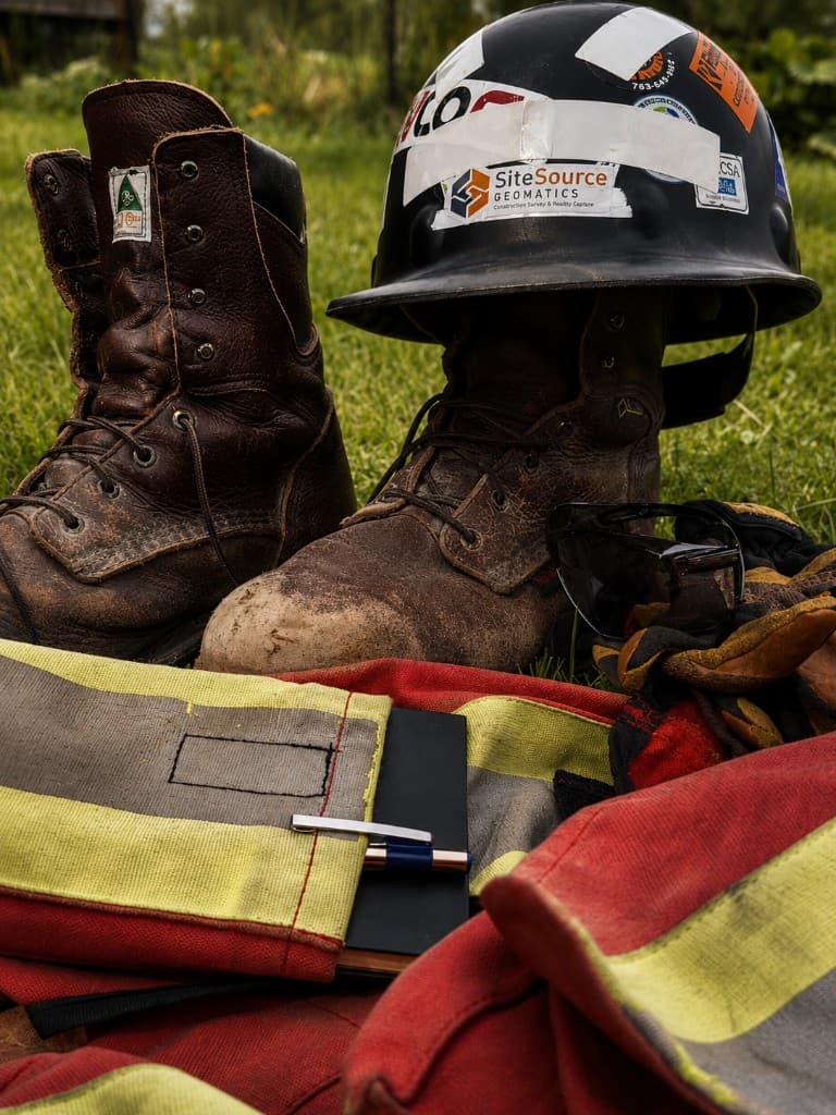
Real-world results
Industrial plants, civil sites, foundations, steel, utilities — environments where precision is non-negotiable.
Service across Ontario
From local sites to industrial corridors — SiteSource mobilizes where the work is. Call (587) 439-1265 or email info@sitesourcegeomatics.ca.
Work Request